
Drone shoots for police &
public-safety briefs.
Planned aerial video and photography for authorised site views, public-event coordination and traffic-observation briefs. Bengaluru-based, available across India.
DGCA-certified drone pilot
← Back to all drone shootsSee the wider picture.
Plan aerial views around the purpose, permitted areas and information your team needs.
Useful for these briefs
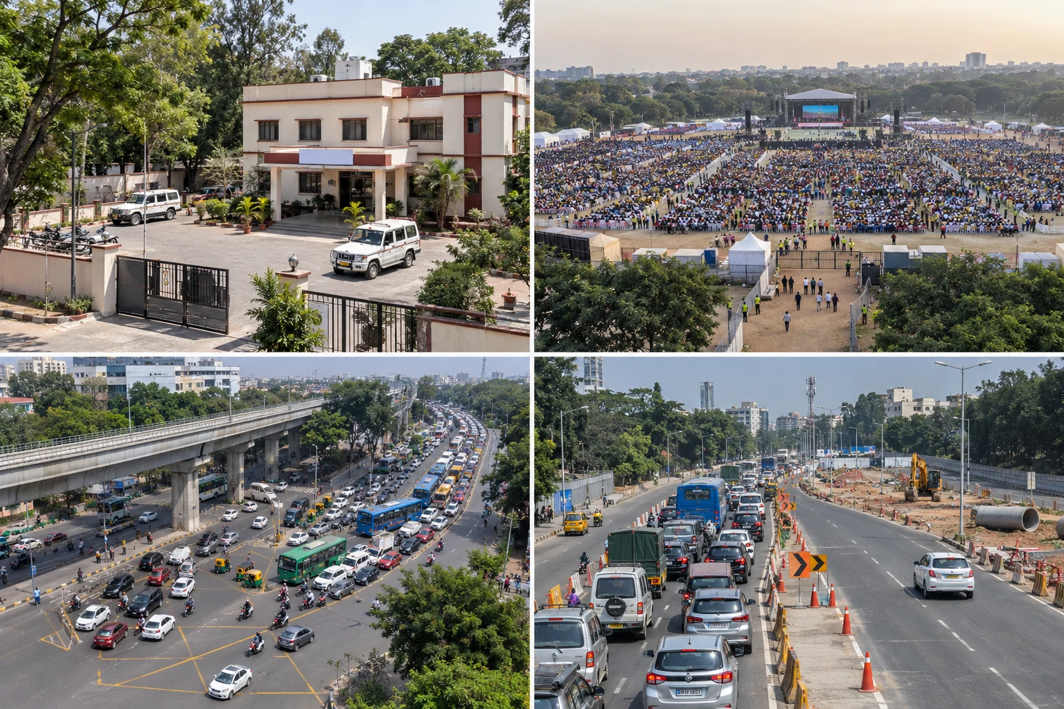
Police-station & site views
Agreed exterior, location and access-area coverage.
Large public events
Wide event and surrounding-area views for an authorised coordination brief.
Traffic & congestion views
Observe visible vehicle queues, junction layout and surrounding access routes.
Aerial views for your authorised brief.
Choose views around permissions, crowd safety, privacy and flight feasibility.
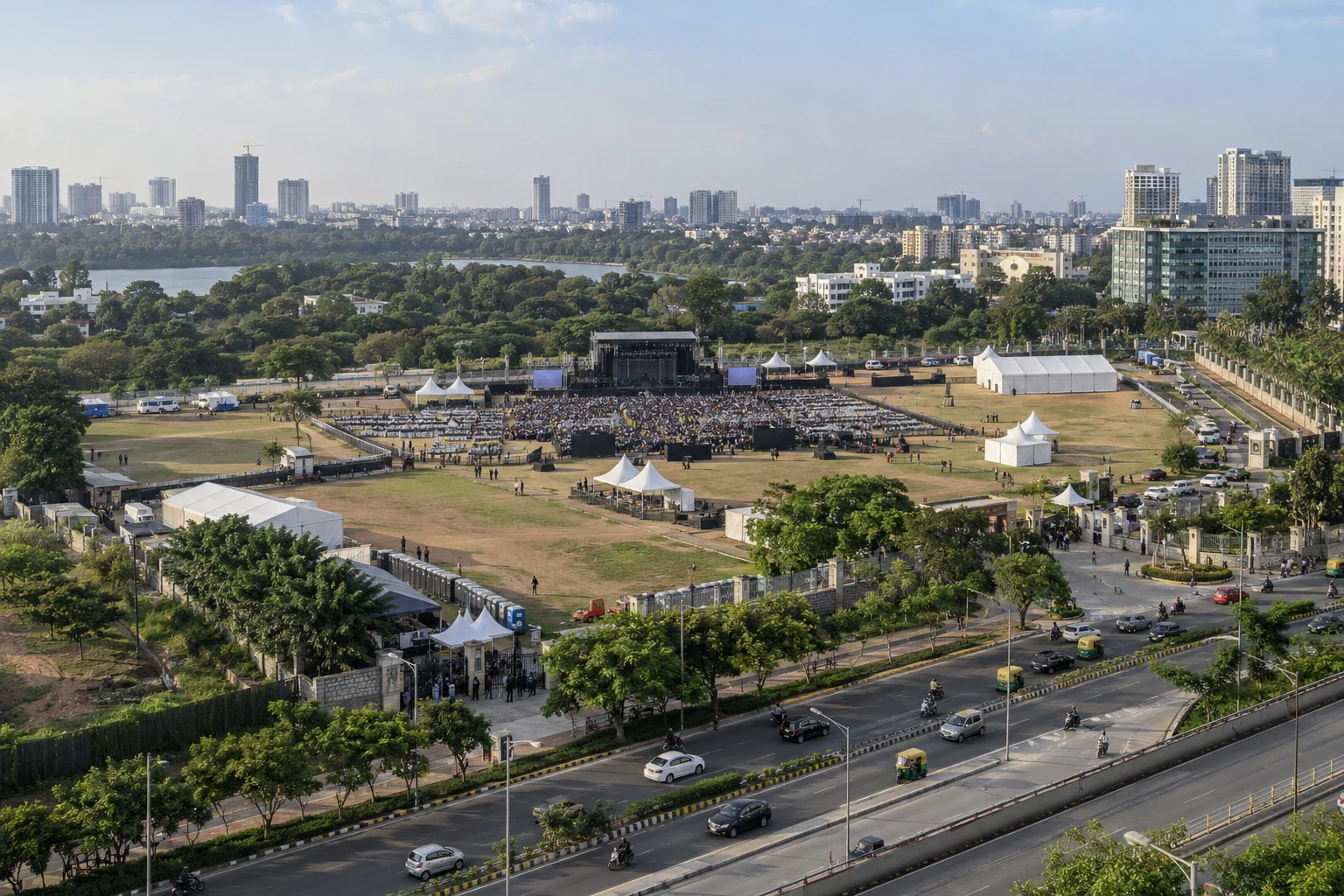
Public-event overview
Show the event footprint, surroundings and access areas.
Traffic queues & junctions
Document visible queues and junction conditions at the time of capture.
Approach roads & bottlenecks
Show visible merging points, lane restrictions and approach conditions.
Imagery is illustrative. Views can support team assessment; they do not establish the cause of congestion.
A clear brief. A planned shoot.
Share the authorised brief
Confirm the responsible contact, purpose, location, date and required views.
Agree scope & permissions
Confirm permitted areas, restrictions, access and the shot plan.
Receive agreed files
File delivery and handling are agreed with the authorised team.
Your team handles the edit. Editor introductions are available separately.
Define the scope before we fly.
Authorisation & site permissions
Your team confirms authority for the brief and arranges site access and applicable local filming permissions. We agree the work order and permitted areas before the shoot.
Crowds, privacy & safe conditions
We plan from safe permitted areas around people, roads and restricted locations. Required flight approvals and conditions are checked; unsafe shots will not proceed.
Live feed, ongoing monitoring or traffic analysis requires a separate scope and feasibility discussion.