
Land & plotted-development
drone shoots in Bengaluru.
Aerial video and photography for landowners, developers and agency teams. Available for shoots across India.
DGCA-certified drone pilot
← Back to all drone shootsShow the site.
Explain the opportunity.
Give your audience a clear view of the land, its surroundings and how the site connects to nearby roads.
Useful for these briefs
Land marketing
Show the site and its surroundings.
Plotted-development launches
Capture layout and access-road context.
Agency & production teams
Capture agreed aerial shots for your team’s edit and final delivery.
Aerial views to discuss for your site.
We select shots around your brief, the location and what is safe and feasible.
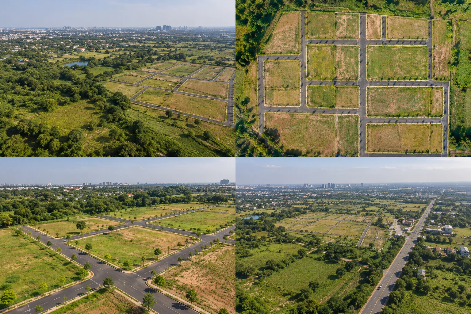
Site & surroundings
Show the land in its wider location, nearby landmarks and overall setting.
Layout & access roads
Capture the plot layout, internal roads and site infrastructure.
Approach & nearby context
Show how the site connects to main roads, neighbourhoods and key surroundings.
Shot examples are illustrative. Actual coverage depends on the site and conditions.
A clear brief. A planned shoot.
Share your brief
Send the location, date, required shots and allocated budget.
Plan the coverage
We check feasibility, access, permissions and the agreed shot plan.
Receive original files
I hand over the agreed original footage for your editing team.
Your team handles the edit. Editor introductions are available separately.
Plan before we fly.
A good location does not automatically mean every shot is possible.
Site access & permissions
Your team arranges site access and applicable site and local filming permissions. We agree the work order, coverage and site boundaries before the shoot.
Location & operating conditions
Required flight approvals, weather, obstacles and safe take-off space are checked before flying. Unsafe shots or locations will not proceed.
Aerial marketing coverage. Survey-grade mapping and certified measurements require a separate confirmed scope.